 vesseltracker.com
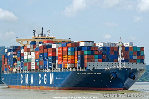
Vessel MSC BRITTANY IMO: 9724049, MMSI: 255806430 Container Ship
UTC, 34.46911, 33.08434, course: 64, speed: 13.3
UTC, 34.59423, 33.13078, course: 332, speed: 3.2
2026-02-22 15:58:27 UTC, 34.59970, 33.20345, course: 271, speed: 3.7
Live AIS position:
UTC. Near Moni Anchorage),
updated 2026-02-22 15:58:27 UTC.
Find the position of the vessel MSC BRITTANY on the map. The latter are known coordinates and path.
marine traffic ship tracker show on live map
The current position of vessel MSC BRITTANY is 34.59970 lat / 33.20345 lng. Updated: 2026-02-22 15:58:27 UTCCurrently sailing under the flag of Portugal (MAR)
MSC BRITTANY built in 2016 year
Deadweight:
115583 tDetails:
Last coordinates of the vessel:
UTC, 34.35752, 32.34606, course: 93, speed: 17.9UTC, 34.46911, 33.08434, course: 64, speed: 13.3
UTC, 34.59423, 33.13078, course: 332, speed: 3.2
2026-02-22 15:58:27 UTC, 34.59970, 33.20345, course: 271, speed: 3.7